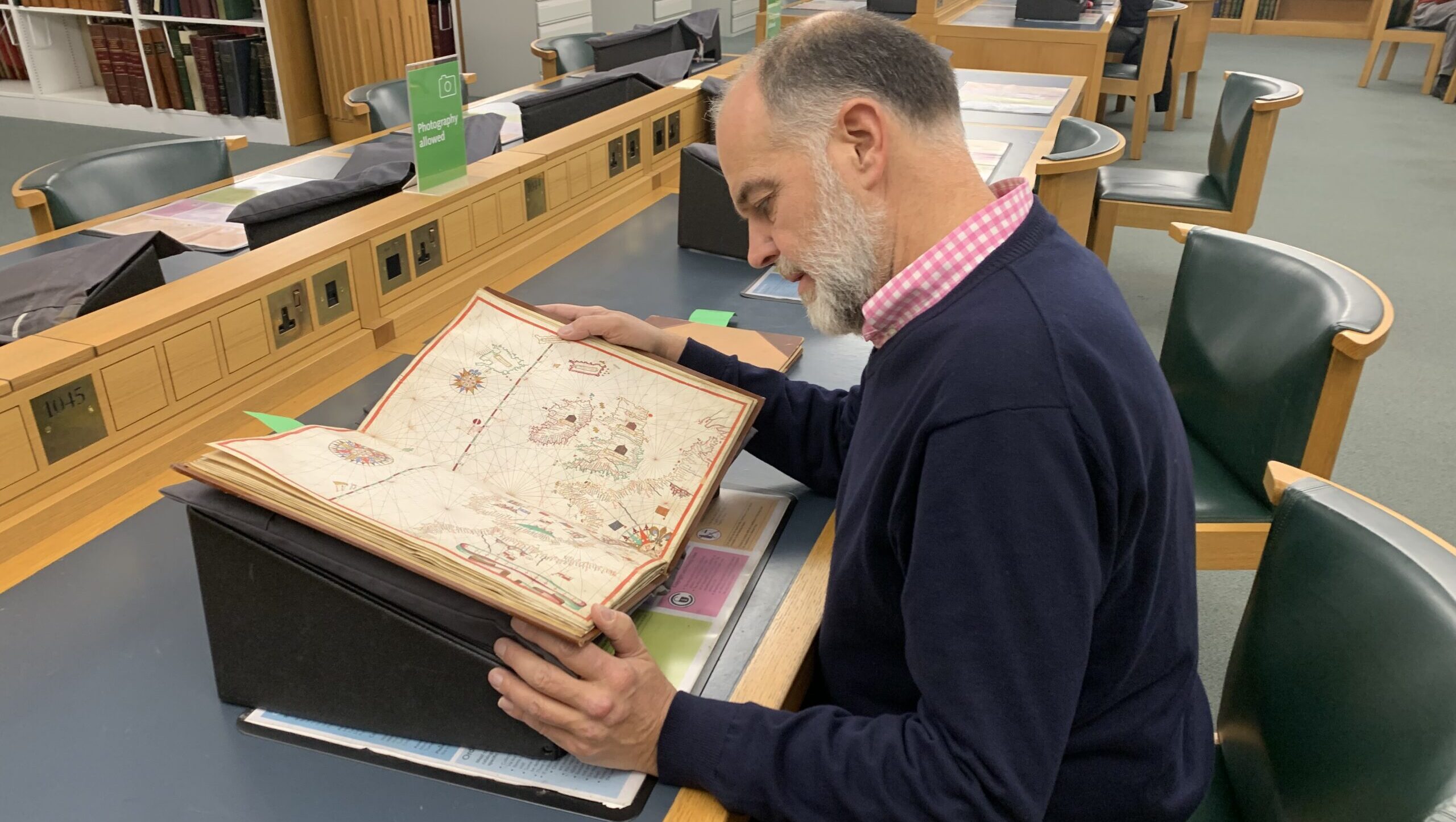
This caught my attention because it brought together my link with the Mediterranean sea and my passion for maps.
Portolan charts are nautical charts which were first made in the 13th century in the Mediterranean basin and later expanded to include other regions. Most portolan charts were handmade, as opposed to engraved or printed maps.
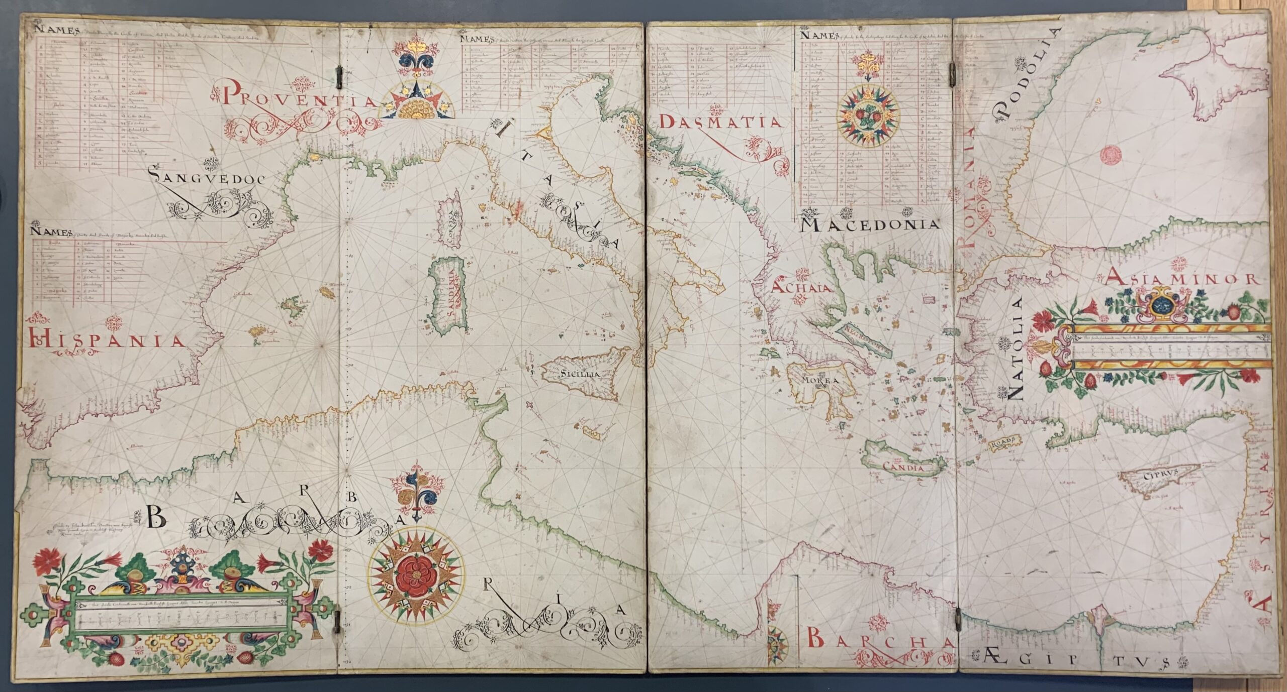
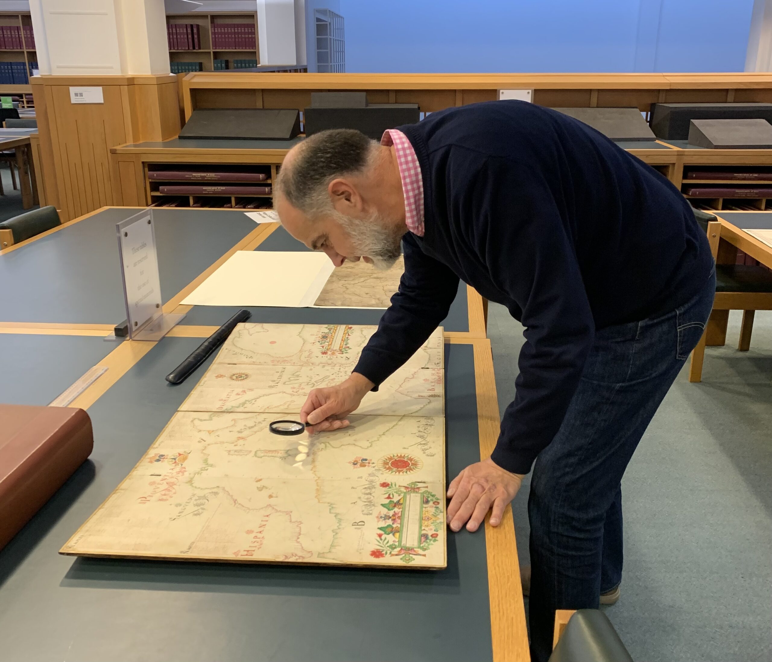
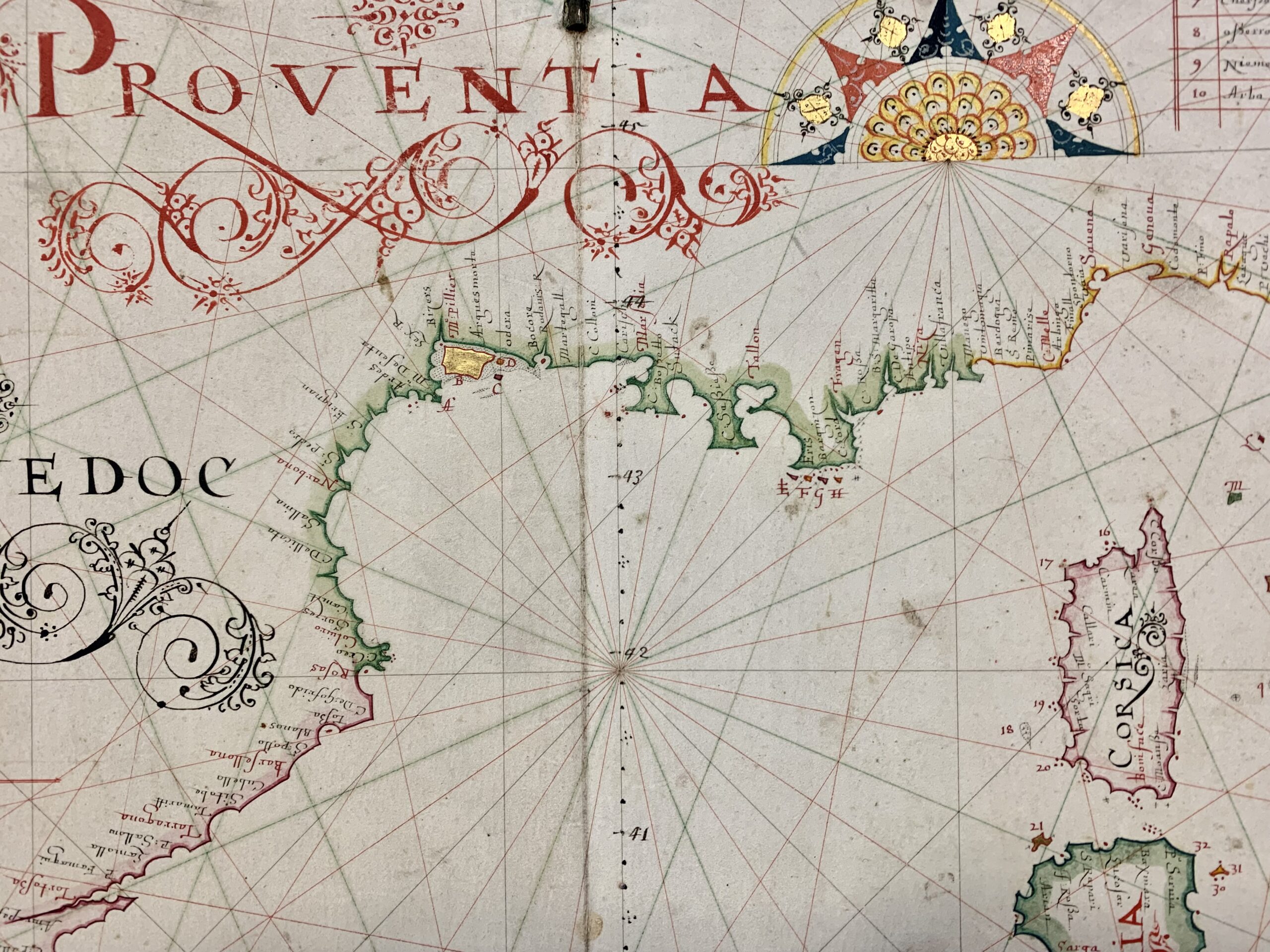
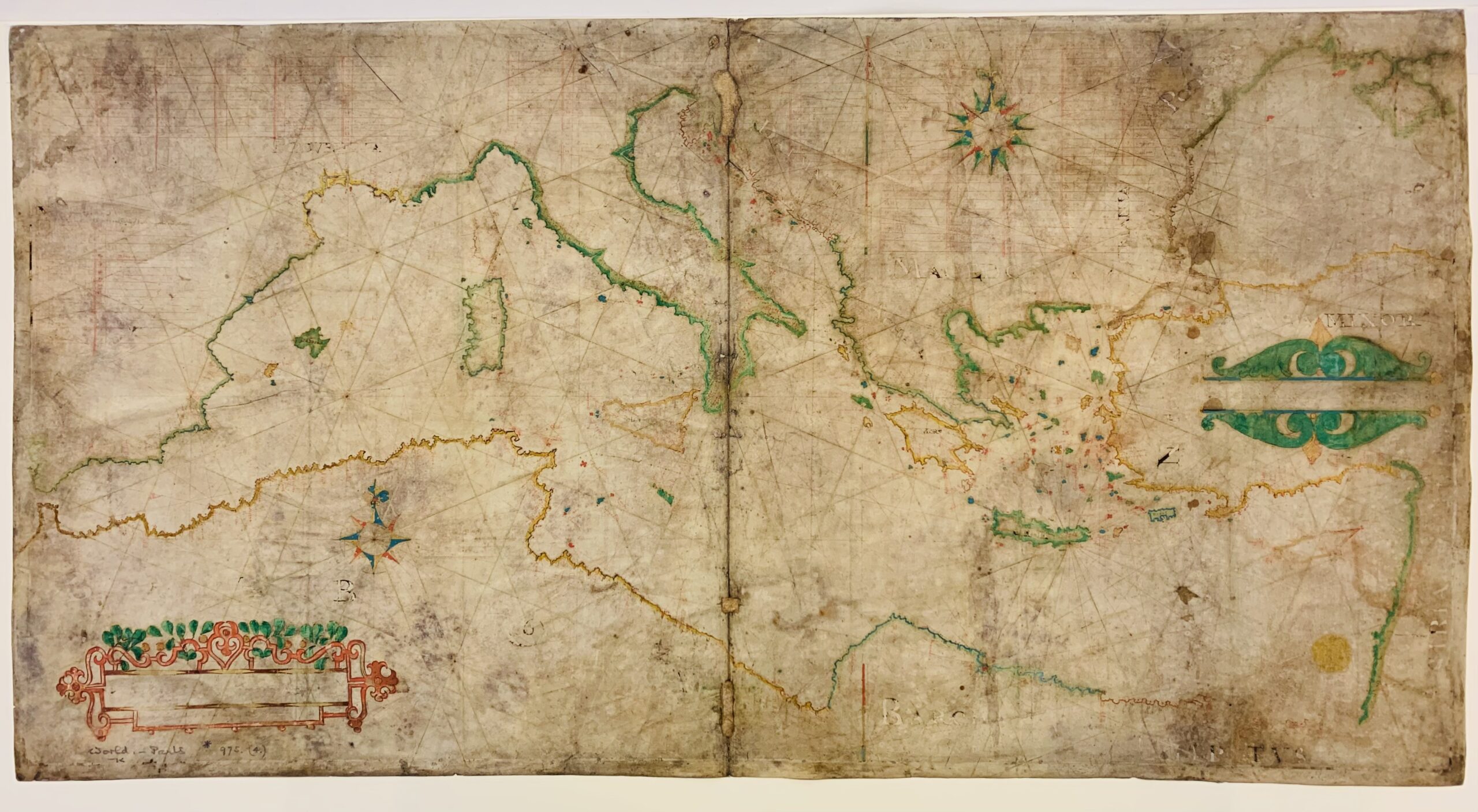
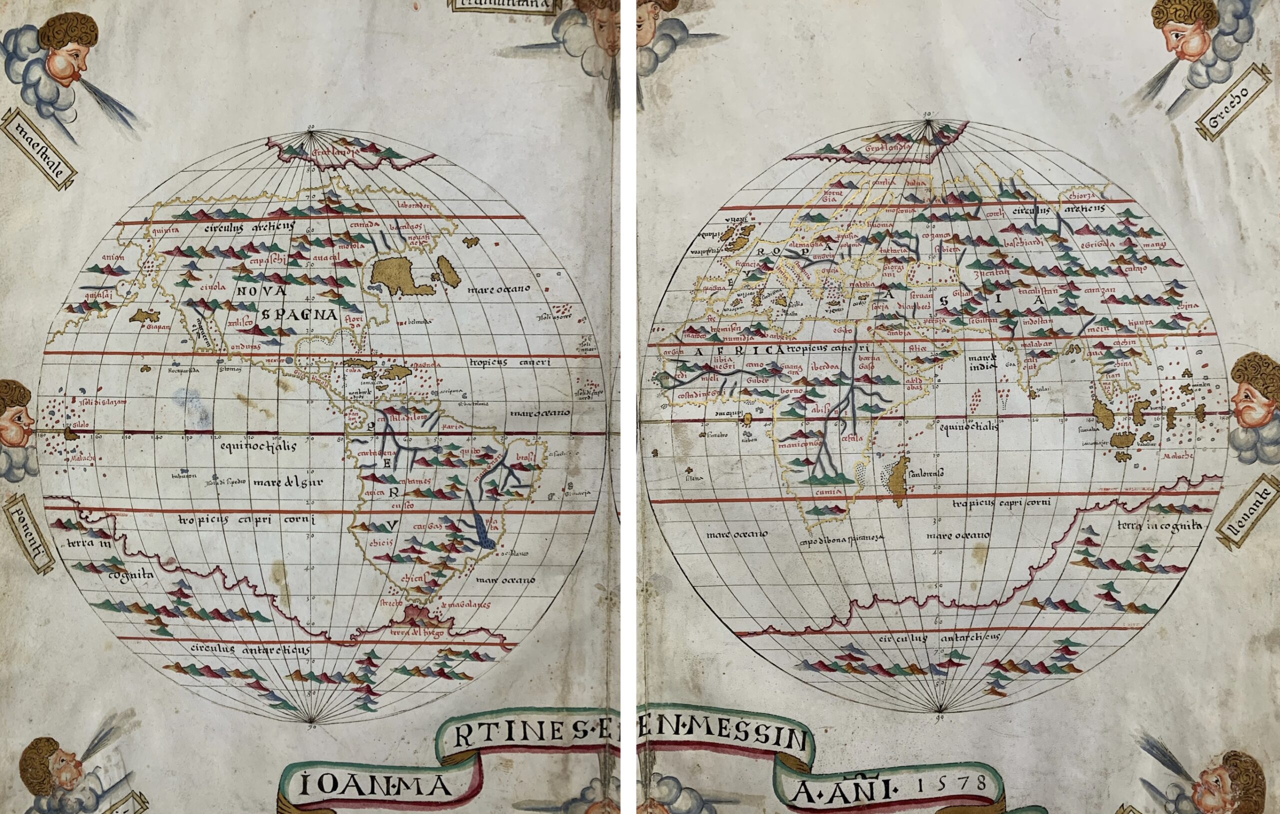
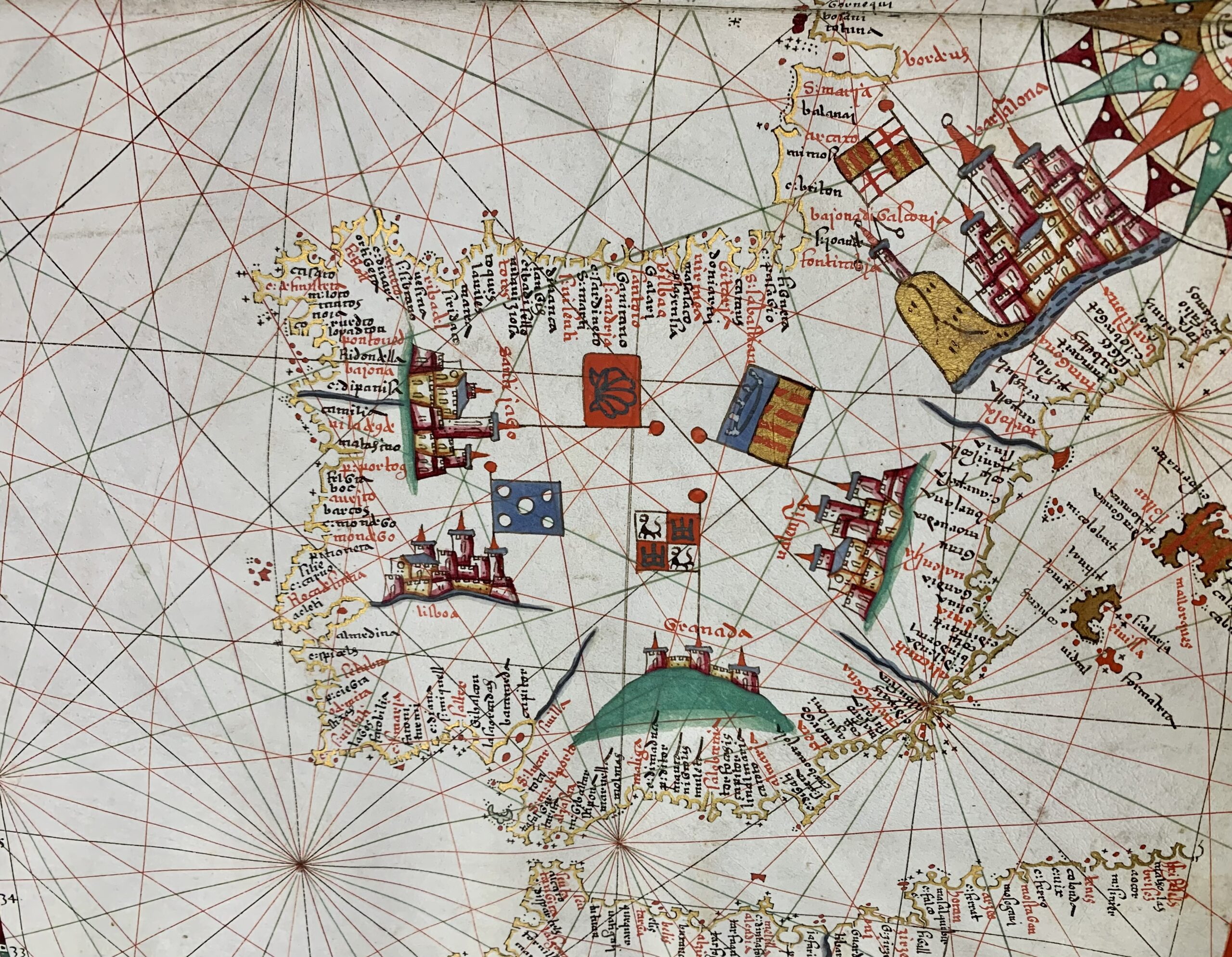
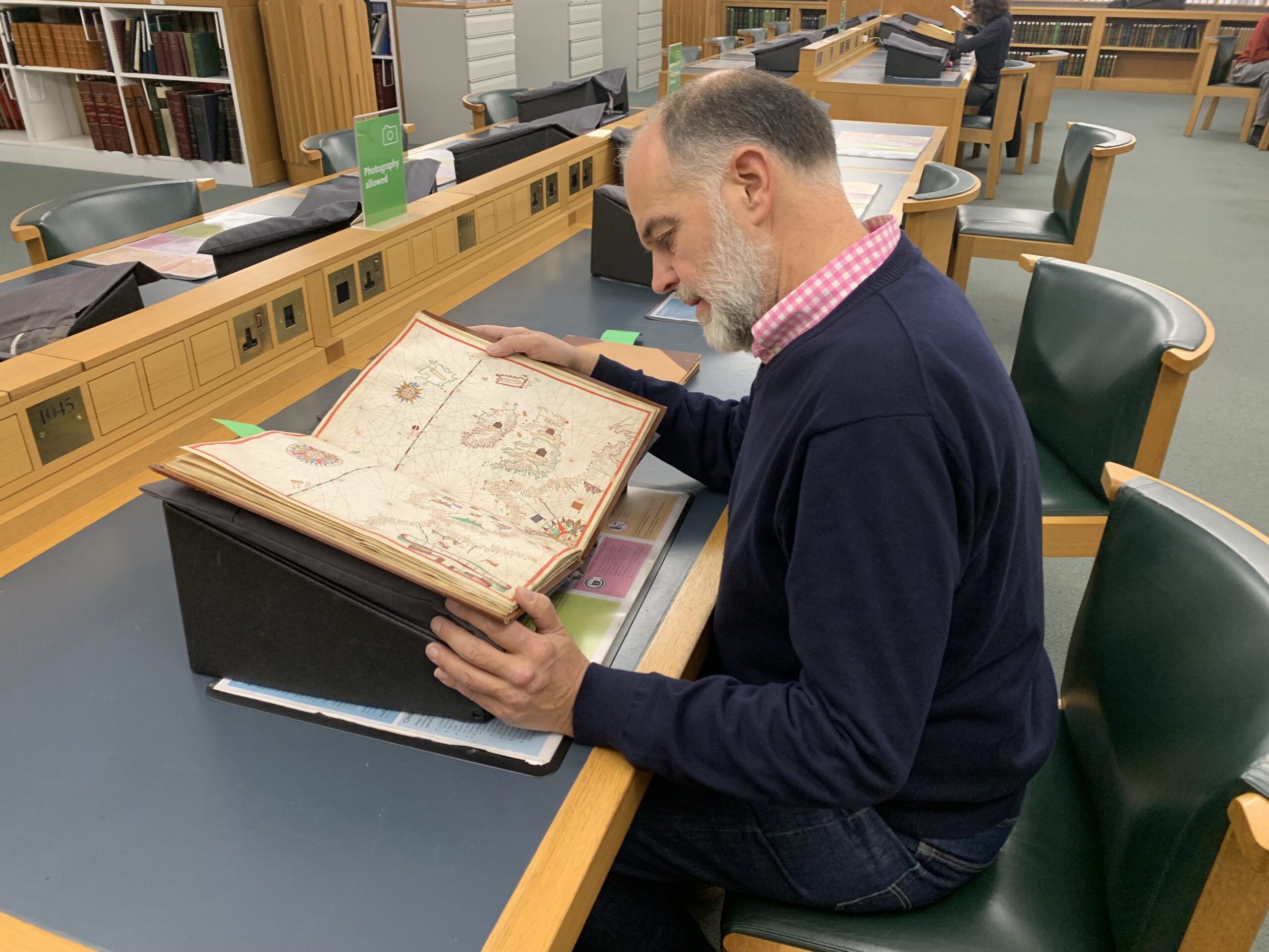
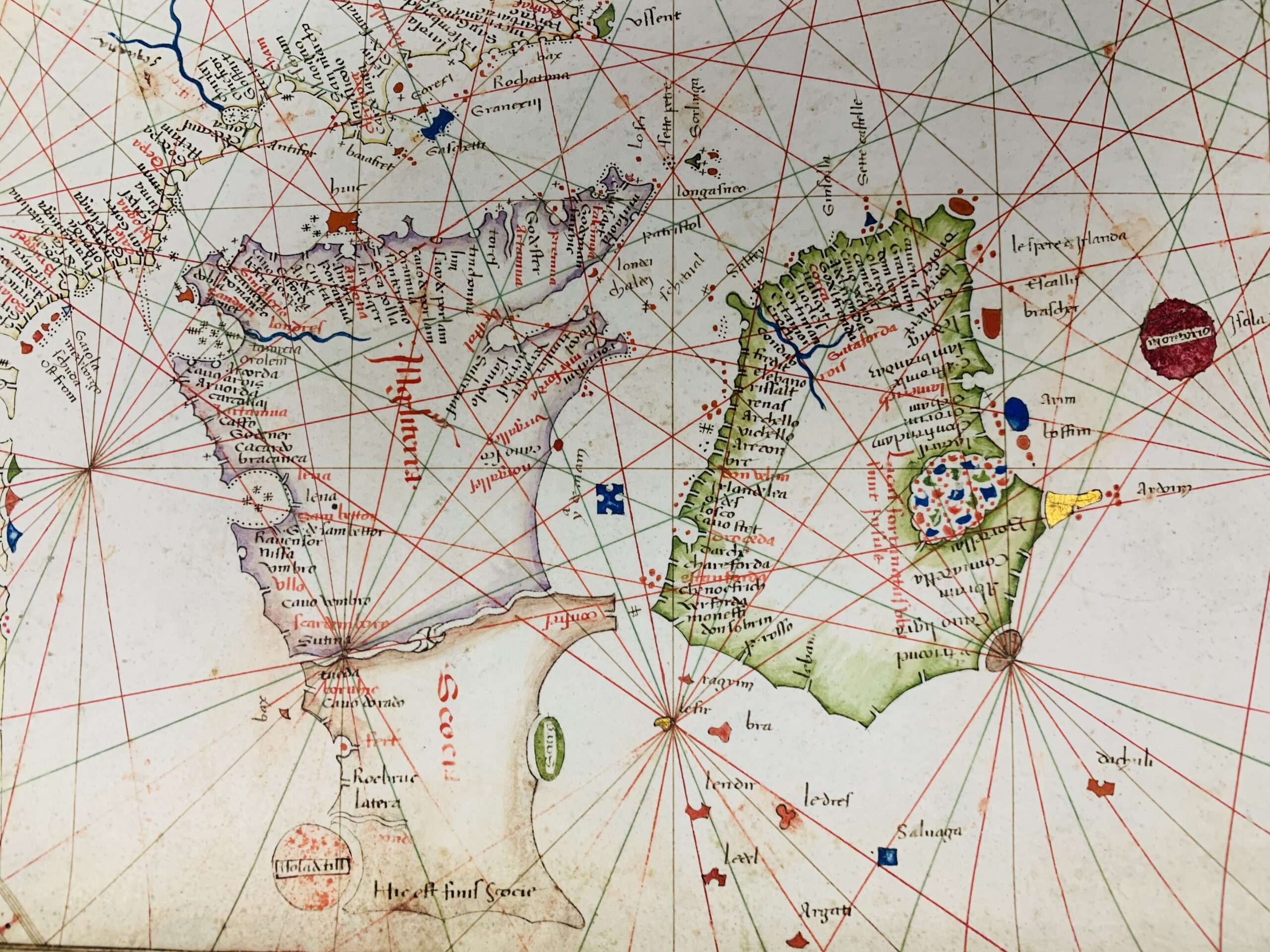
Finally I had the opportunity to examine a 1508 portolano containing 13 coast maps, including a world map and a drought outline of the east coast of North and South America. This was followed by a fragment showing the area between India and the Red Sea, Canary islands and Mediterranean coastline of Africa.
It is amazing to think of the treasures that libraries and museums gather, with very few people knowing that they are even accessible. If you might be interested in discovering them, you will need to know what you are looking for as well as a British Library pass.
