Simply put, cartography is the study of the design and construction of maps that have existed for centuries (the oldest map dates back to the 7th millennium BC). The study of maps brings together geography, history, science and art: an incredibly interesting mix of subjects.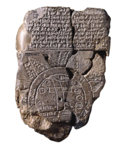
Old cartography was used for many different reasons, namely that it allowed people to understand their environment which has shaped how we think about the globe today. The oldest maps were found in the form of cave wall paintings and stone tablets, which has evolved over time into advanced geospatial technologies.
The Babylonians created the first type of map, carving them onto clay tablets and even using a sketch of town structures. On the Babylonian World Map, the world was represented by basic geometric shapes.
The Ancient Greeks later philosophised about the world around them, and what we would traditionally consider a map today was first produced by philosopher Anaximander. It represented the three continents known to the Greeks at the time: Europe, Asia and Libya.
With the expansion of Alexander of the Great’s empire, the Greeks mapped new regions of the Asian continent. For centuries the smaller Greeks were subject to outside invasions, so lands past Anatolia were a mystery.
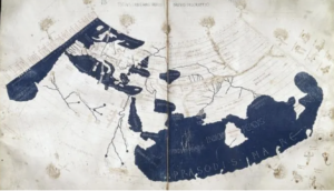
However, by Roman times the Greek Egyptian Ptolemy created an extensive view of the Western world. His work did in fact include a few errors, in particular by theorising the Indian Ocean as an enclosed body of water with the coastline extending from Africa and connecting into Asia.
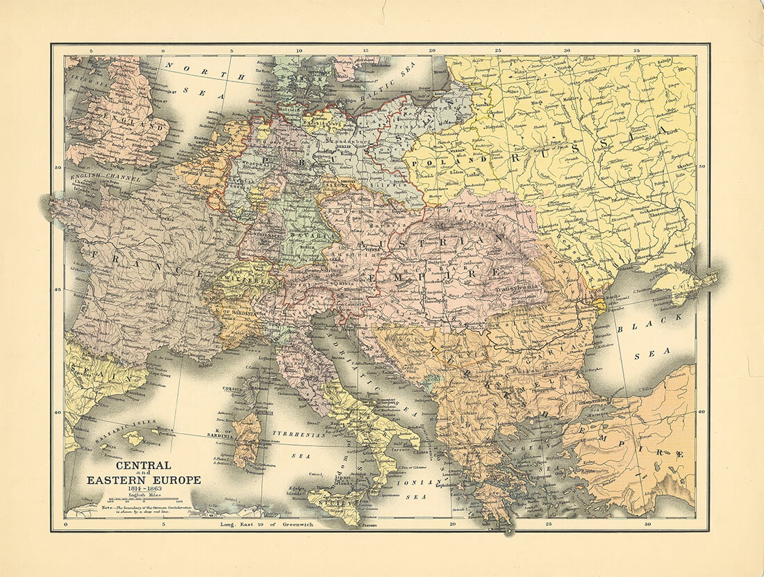
 The maps created in the 14th and 16th centuries were utilised as navigational aids, and were useful during the expansion of the Iberian Peninsula. In particular, the development of the Crown of Aragon necessitated the regulation of the passages across the Mediterranean Sea.
These maps were also used as decorative pieces and were given as gifts for kings or popes. An example of this was the Catalan Atlas, produced in 1375, that was given to the King of France from the King of the Crown of Aragon.
The Habsburgs were very protective over the maps created in Spain because they did not want anyone to take them and use them to expand on the empires that Spain wanted.
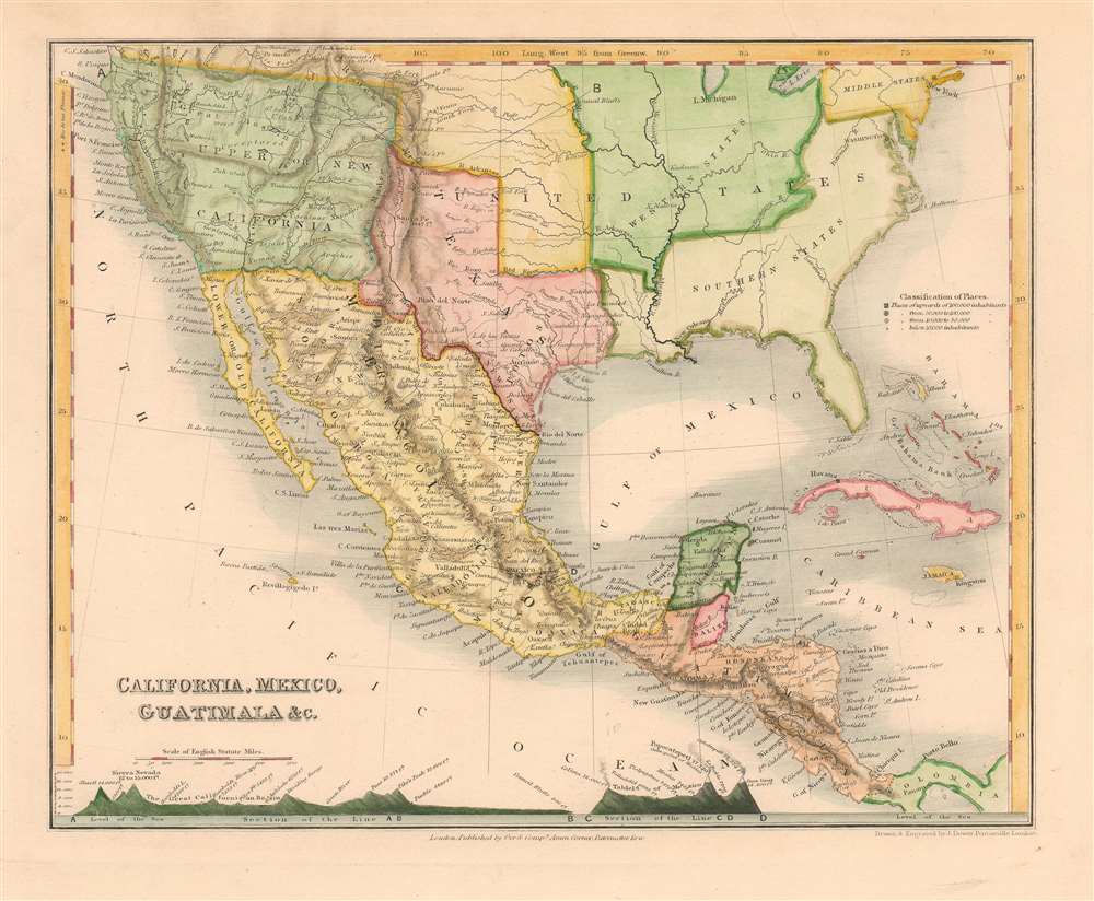
During the exploration of the New World, maps began to change as space was being considered and they were beginning to be drawn differently.
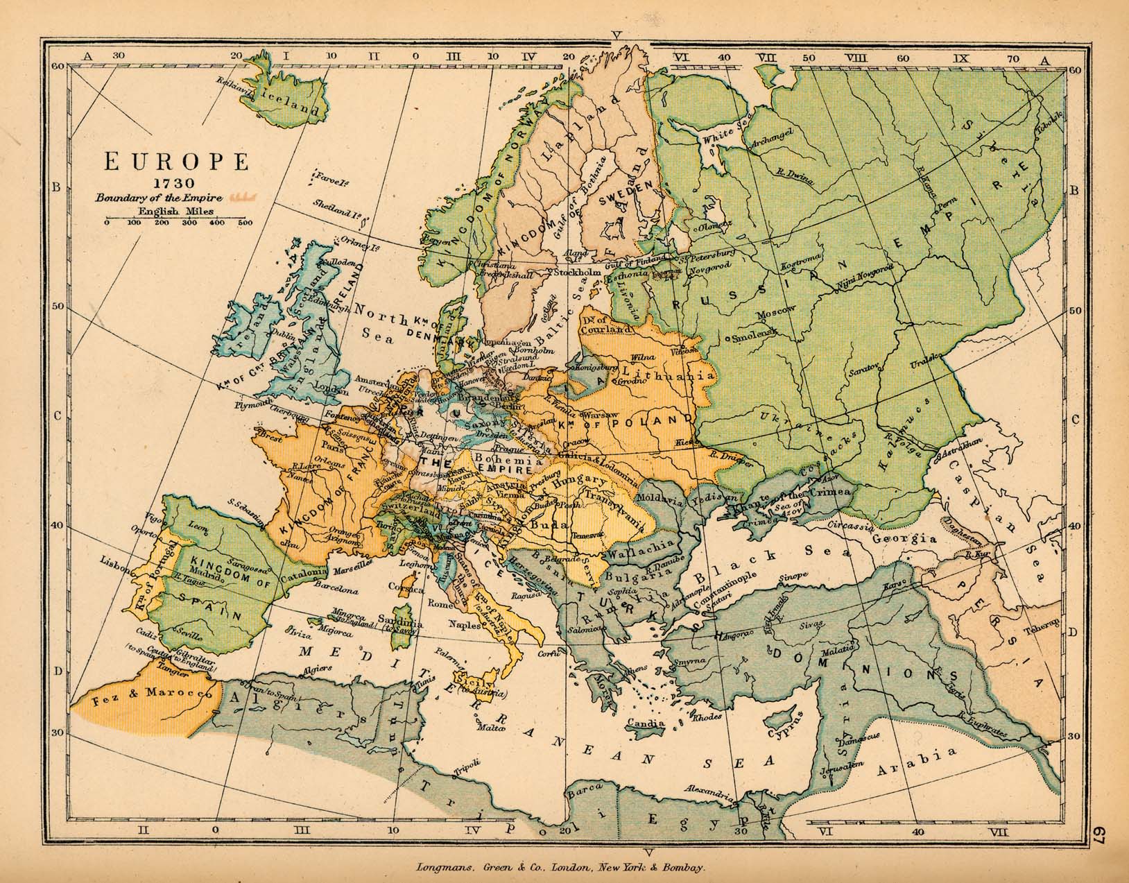
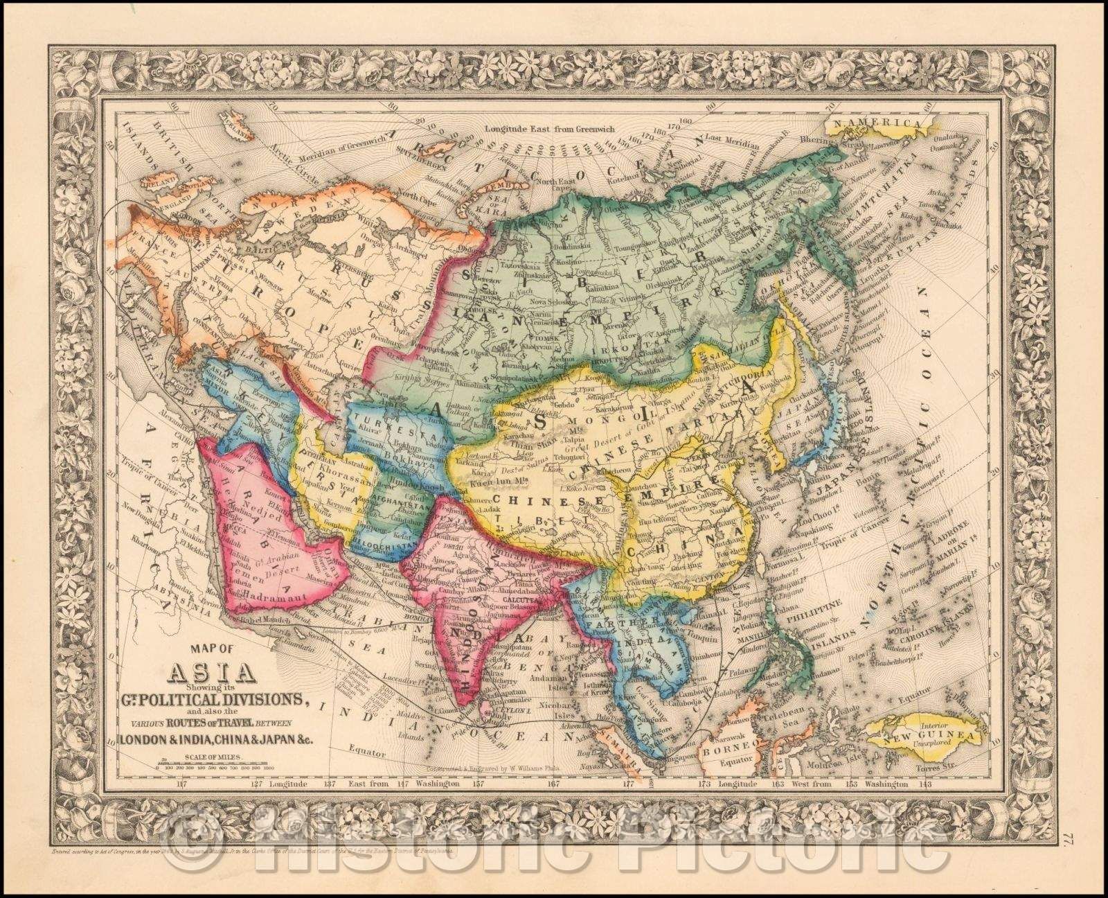
By the late 16th and 17th centuries, cartography was becoming even more advanced with the rise of The Dutch Golden Age. This was a period of exploration, navigation, and colonisation. The Dutch were able to use their navigational skills to identify new areas in Africa, Asia and the New World.
Dutch artists would start to include ‘cartes-à-figures’ into their maps, which were impressive decorations and borders that illustrated allegorical representations of the four seasons and four continents. This improved the geographical context of the map, as well as how well it sold.
Past cartography instruments such as compasses, mylar sheets, planimeters and dividers were used to construct analog maps. For thousands of years mankind only saw the world through drawings, it has only been in the last few decades when humans got the first pictures of what the planet actually looked like.
Modern mechanical devices such as the printing press, vernier and quadrant allowed for the mass production of maps, and now with Google Maps anyone can traverse anything from the globe, which is fascinating because mankind used to risk their lives in order to explore the same region.